
Official DJI product · Bangladesh
Zenmuse L3
Precision Beyond Vision: High-Accuracy Airborne LiDAR for Enterprise
DJI
Zenmuse L3
Precision Beyond Vision: High-Accuracy Airborne LiDAR for Enterprise
- Detection Range
- Up to 500 m
- Point Rate
- Up to 1.5M points/sec
- Accuracy
- Vertical: 4 cm, Horizontal: 5 cm
- Protection
- IP54 Weatherproof
Technical data
Product information
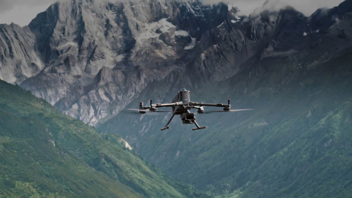
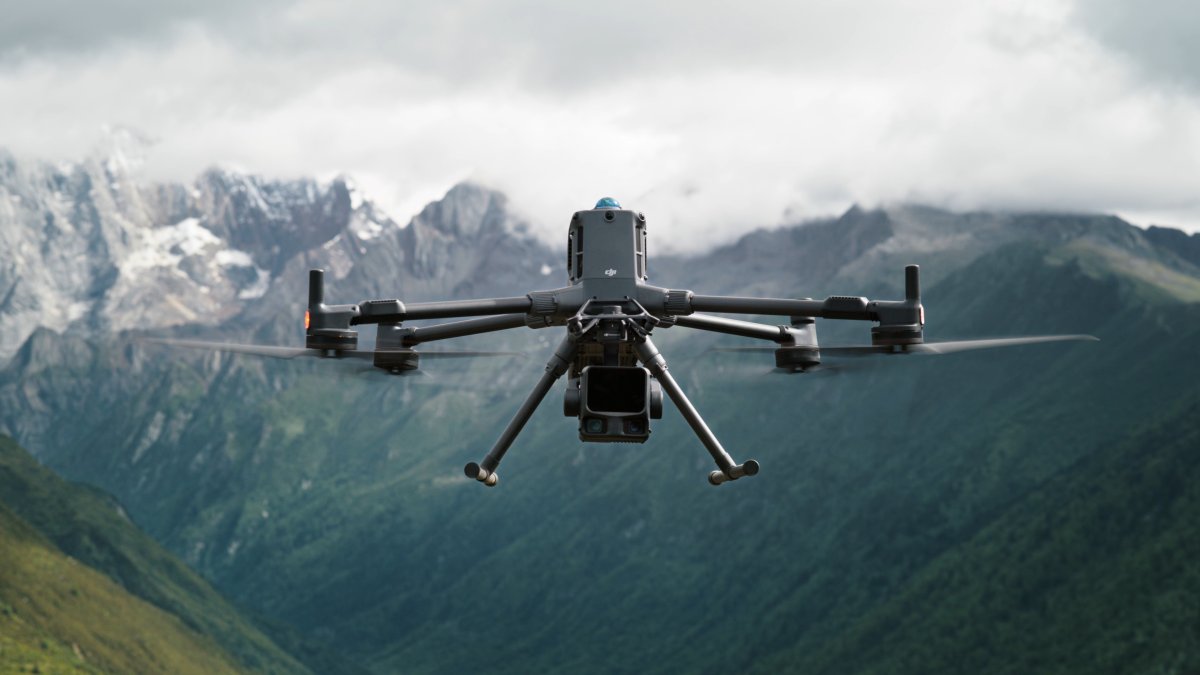
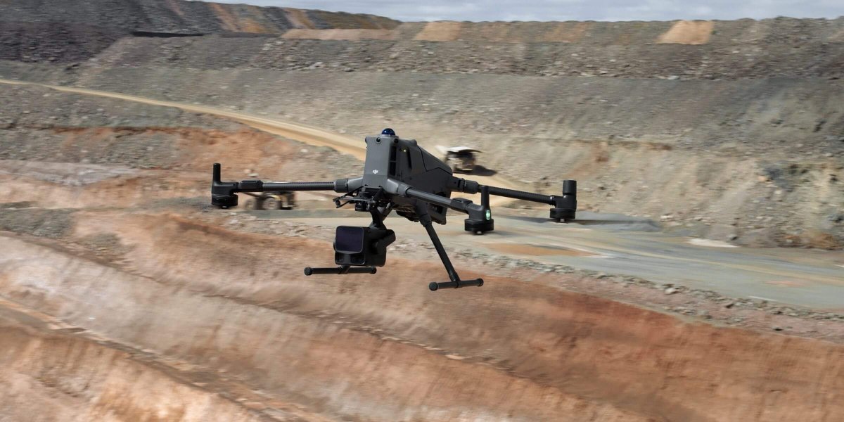
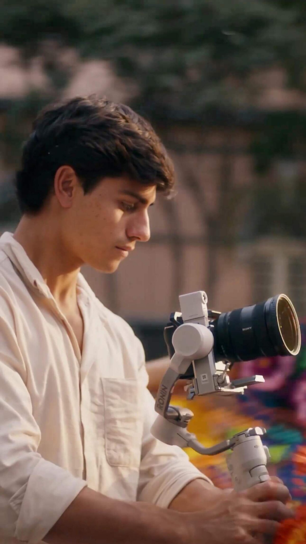
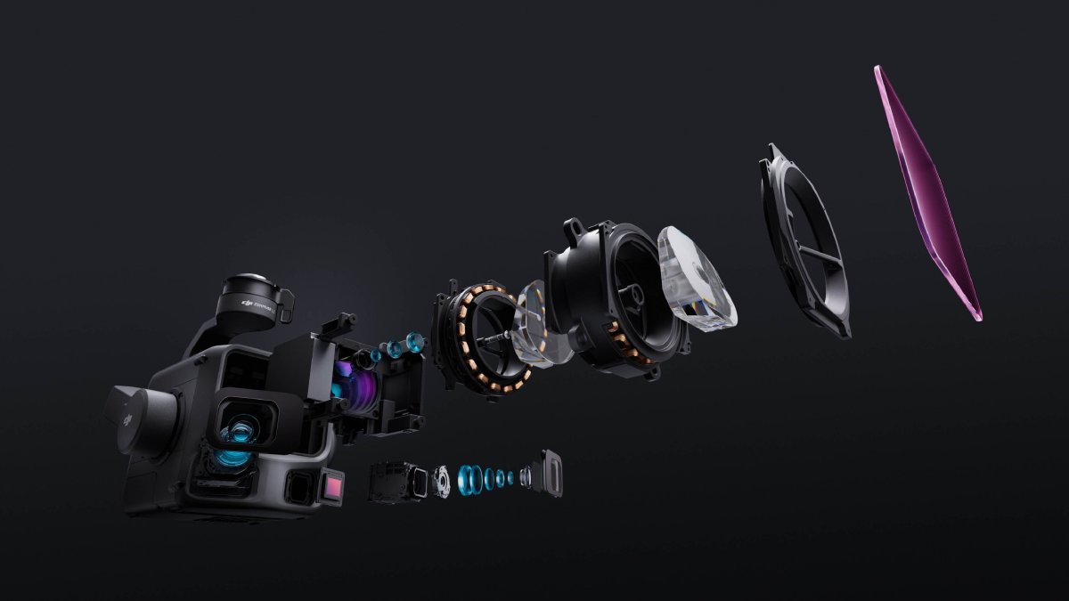
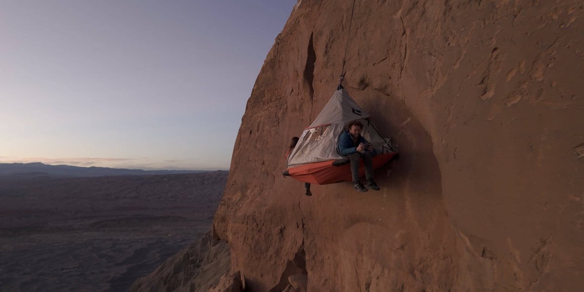
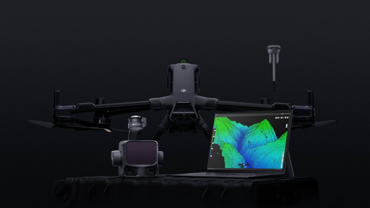
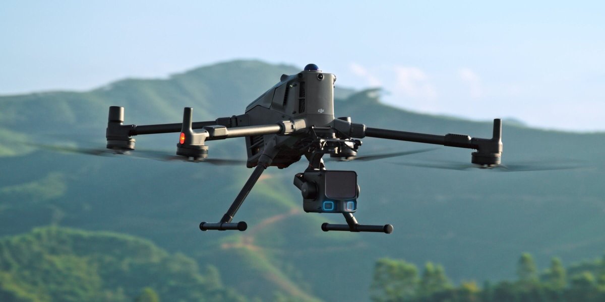
The Zenmuse L3 is DJI’s flagship airborne LiDAR payload system, setting a new benchmark for high-precision 3D mapping, topographic surveying, and geospatial data collection. Integrating a powerful LiDAR sensor, a high-quality RGB survey camera, and an ultra-precise IMU system, it delivers unmatched efficiency and real-time point-cloud accuracy in complex environments.
Key Highlights:
-
High-Precision Long-Range Sensing: Features a detection range of up to 500 meters with centimeter-level spatial accuracy, effortlessly capturing dense point cloud data across dense vegetation, mountainous terrain, and infrastructure.
-
Exceptional Point Rate: Generates up to 1.5 million points per second, enabling the creation of highly detailed and realistic 3D models and digital elevation maps (DEM/DSM).
-
Integrated True-Color RGB Camera: Equipped with a 20 MP 4/3 CMOS camera featuring a mechanical shutter to capture crisp imagery and provide real-time true-color rendering to point cloud data.
-
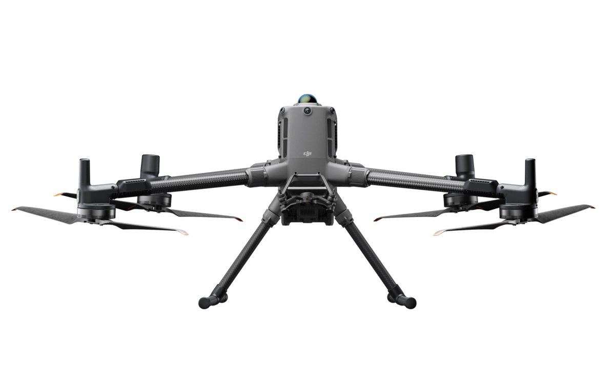
All-Weather Enterprise Reliability: Built with an IP54 weatherproof rating to handle challenging weather conditions, seamlessly operating alongside the DJI Matrice 350 RTK and Matrice 300 RTK platforms.
| Product Name | At 120m Flight Altitude: Vertical Accuracy: 3 cm (RMSE) Horizontal Accuracy: 4 cm (RMSE) At 300m Flight Altitude: Vertical Accuracy 5 cm (RMSE) Horizontal Accuracy: 7.5 cm (RMSE) |
|---|---|
| Point Cloud Thickness | 1.2 cm@1σ (120m nadir flight altitude) 2 cm@1σ (300m nadir flight altitude) |
| Combined Horizontal FOV (Dual RGB Mapping Cameras) | 107° |
| RGB Ground Sampling Distance (GSD) | Average Value: 3 cm (300m nadir flight altitude) |
| Weight | 1.60 kg (without single gimbal connector) |
| Dimensions | 192×162×202 mm (L×W×H) |
| Power | 64 W (typical) 100 W (max) |
| Supported Aircraft | DJI Matrice 400 (requires the Zenmuse L3 single gimbal connector) |
| Ingress Protection Rating | IP54 |
| Operating Temperature | -20° to 50° C (-4° to 122° F) |
| Storage Temperature | -40° to 70° C (-40° to 158° F) |
No downloads available yet.
Local product support