
Official DJI product · Bangladesh
Zenmuse L2
Precision 3D Mapping: High-Efficiency Airborne LiDAR Payload
DJI
Zenmuse L2
Precision 3D Mapping: High-Efficiency Airborne LiDAR Payload
- Detection Range
- Up to 250 m
- Point Rate
- Up to 240,000 pts/sec
- Accuracy
- Vertical: 4 cm, Horizontal: 5 cm
- Returns Supported
- Up to 5 Returns
Technical data
Product information
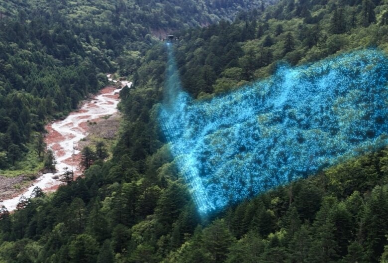
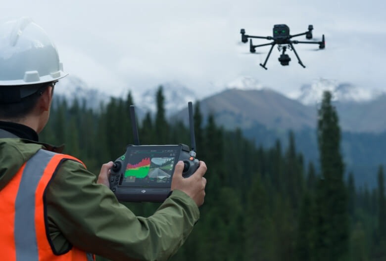
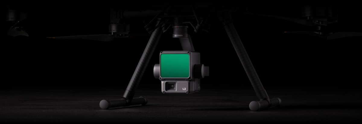
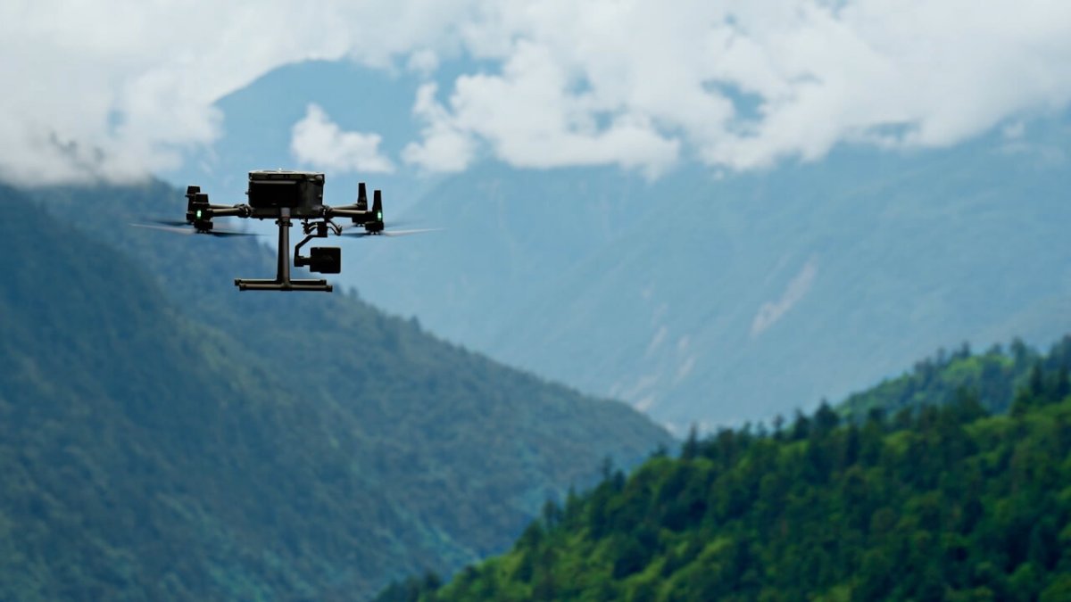


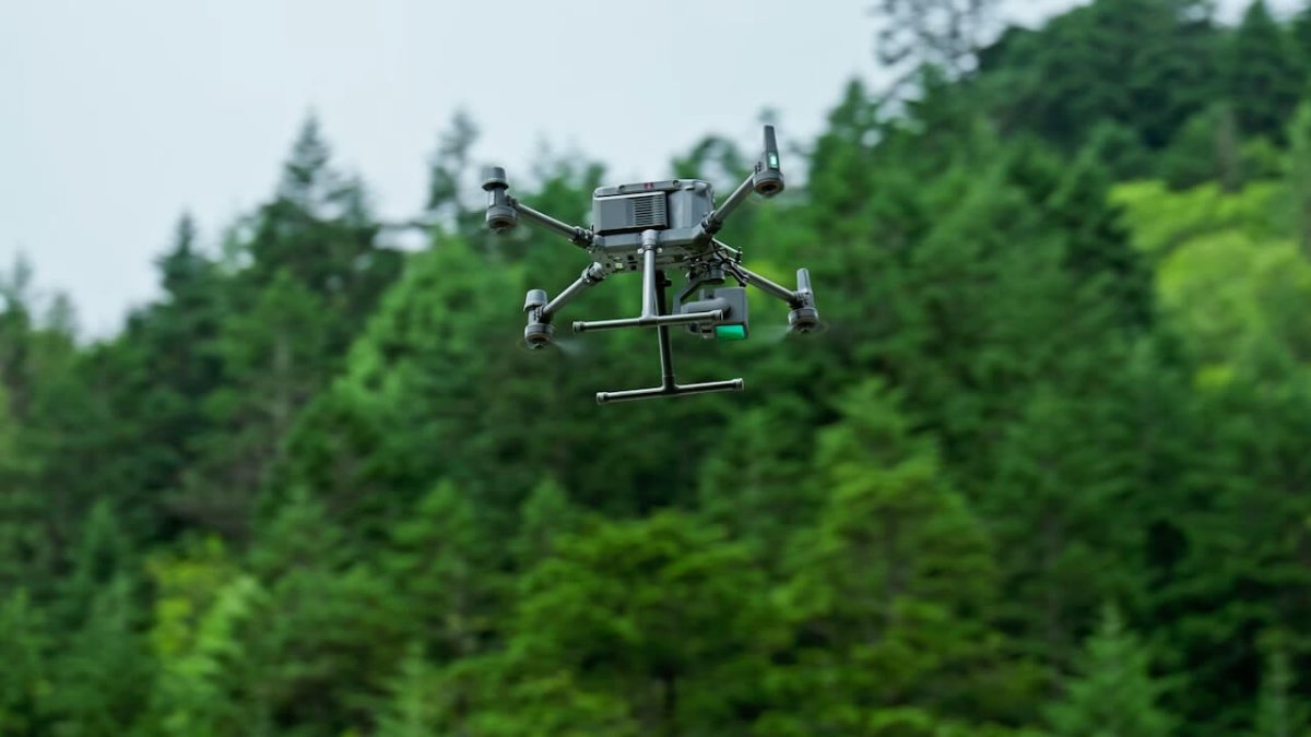
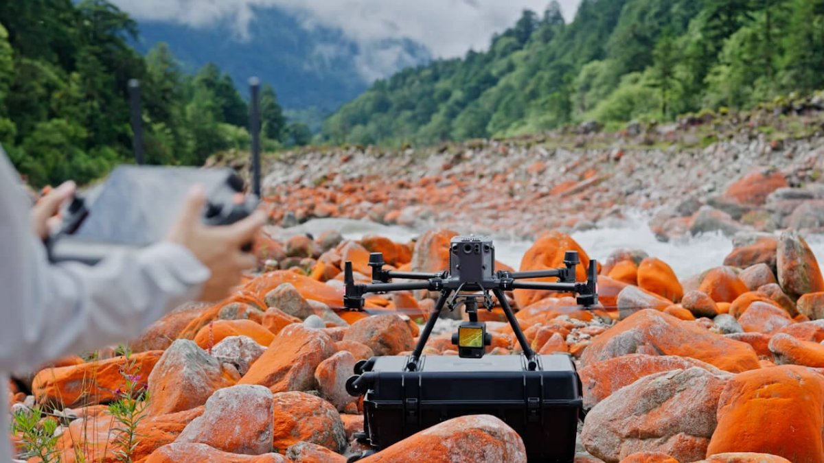
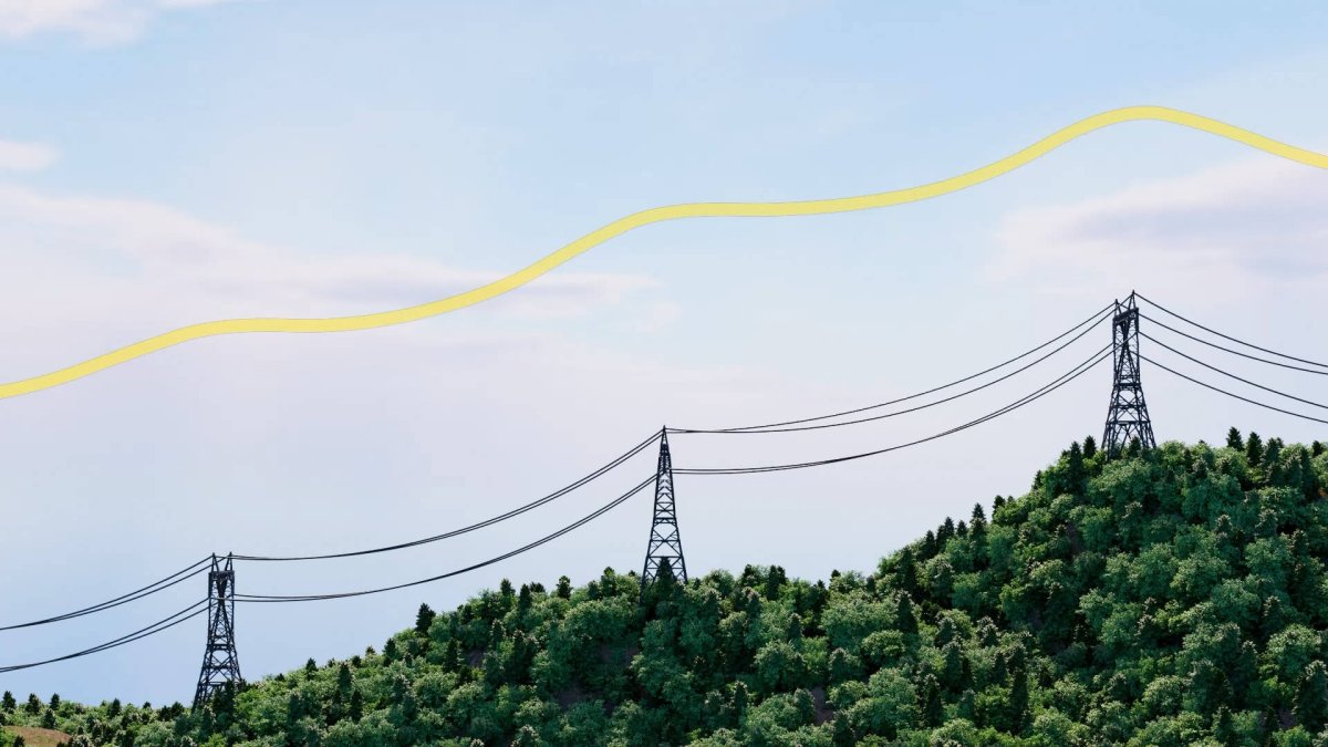
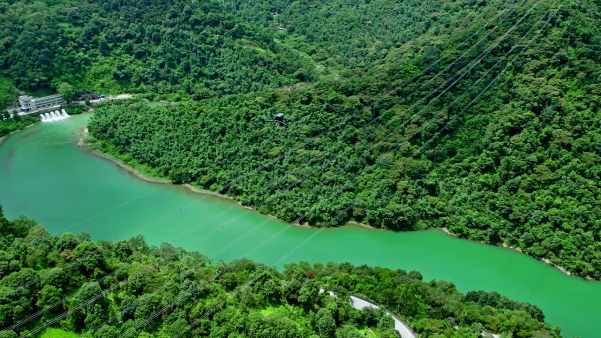

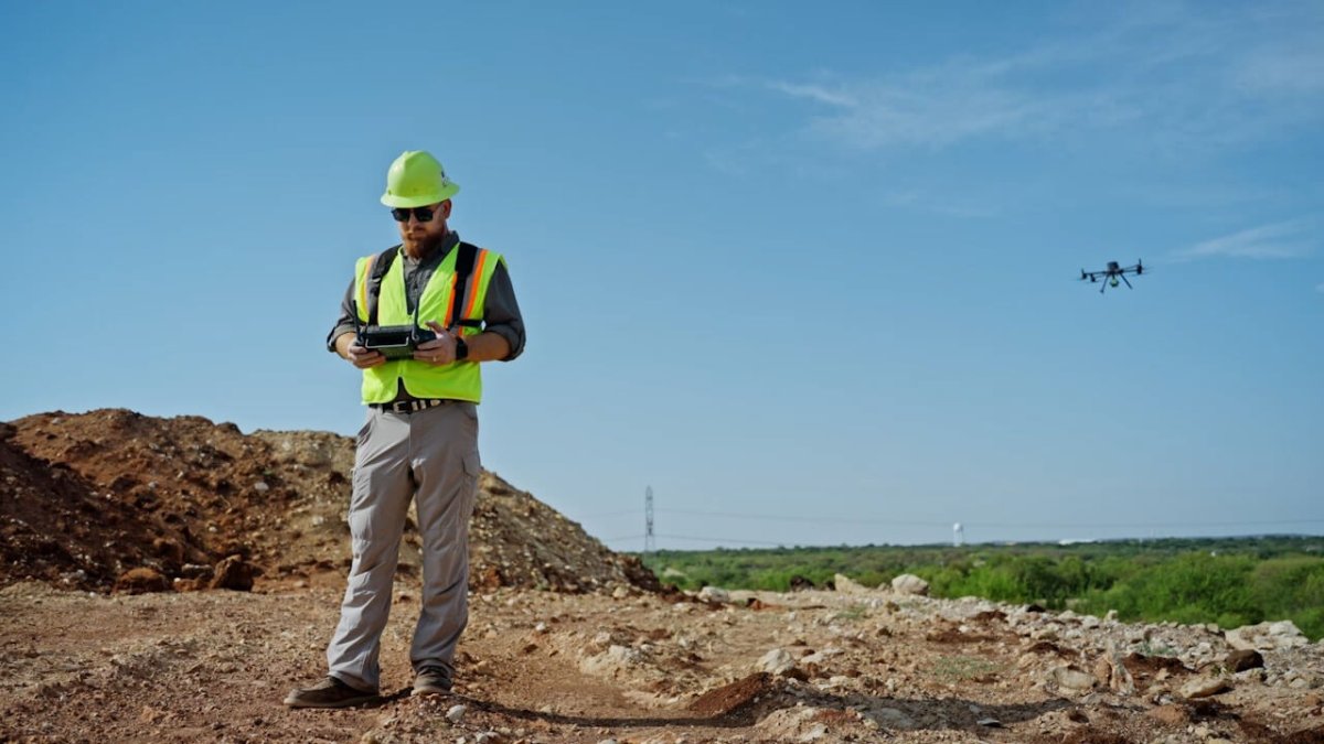
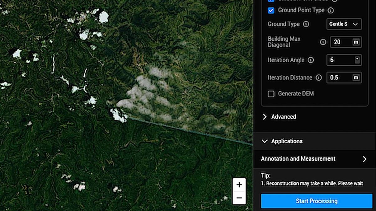
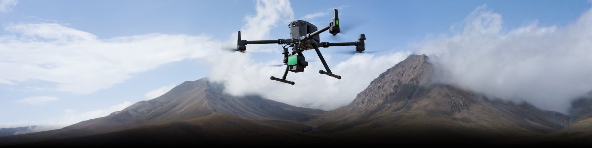



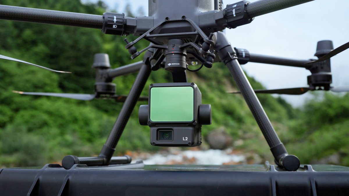
The Zenmuse L2 integrates frame LiDAR, a high-accuracy self-developed IMU system, and a 4/3 CMOS RGB mapping camera, providing DJI flight platforms with more precise, efficient, and reliable geospatial data acquisition. When combined with DJI Terra, it delivers a turn-key solution for 3D data collection and high-precision post-processing.
Key Highlights:
-
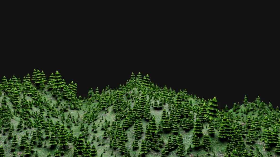
High Precision & Long Detection Range: Detection range extended to 250 meters with centimeter-level accuracy, seamlessly penetrating dense vegetation to capture true ground surfaces.
-
Up to 5 Returns: Supports up to 5 returns to capture dense elevation data through thick foliage and canopy structures.
-
Integrated 4/3 CMOS RGB Camera: Features a 20 MP RGB camera with a 0.7-second photo interval mechanical shutter for high-efficiency true-color point cloud coloring.
-
High-Accuracy IMU System: Requires no warm-up period upon power-on, allowing instant operational readiness and superior operational stability.
| Product Name | Zenmuse L2 |
|---|---|
| Dimensions | 155×128×176 mm (L×W×H) |
| Weight | 905±5 g |
| Power | 28 W (typical) 58 W (max.) |
| IP Rating | IP54 |
| Supported Aircraft | Matrice 400 Matrice 350 RTK Matrice 300 RTK (requires DJI RC Plus) |
| Storage Temperature | -20° to 60° C (-4° to 140° F) |
| General Operating Temperature | -20° to 50° C (-4° to 122° F) |
No downloads available yet.
Local product support